
Several lakes across south King County – including SeaTac’s Angle Lake – are at their lowest levels in years, according to recent monitoring by King County’s Water and Land Resources Division.
Chris Knutson, an environmental scientist with the department, said automated loggers and volunteer monitors track water levels and temperature at 10 lakes in the region.
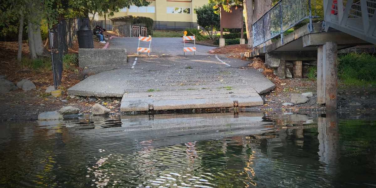
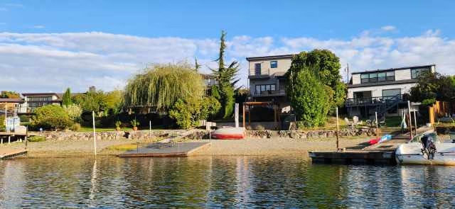
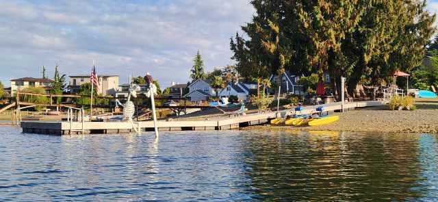
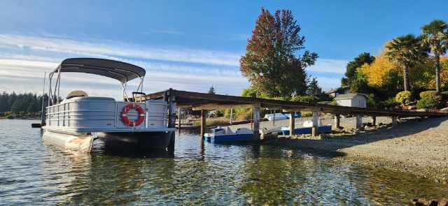
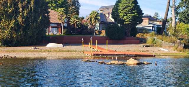
Many Angle Lake residents have been commenting on how low the water is this fall, and one resident decided to take an exact measurement.
“I found the difference to be 77.25 inches, about 6 feet 5 inches, below overflow level,” said Angle Lake resident Richard Farmer, who measured the gap between the lake’s waterline and the city-installed overflow drain. “It is going to take over 6½ feet of water to get us to the point of overflow.”
Data collected last week showed that – in addition to Angle – Geneva, Meridian, Morton, Sawyer, Retreat, Wilderness and Desire lakes were all at their lowest levels since the county began routine monitoring in 2017 and 2018.
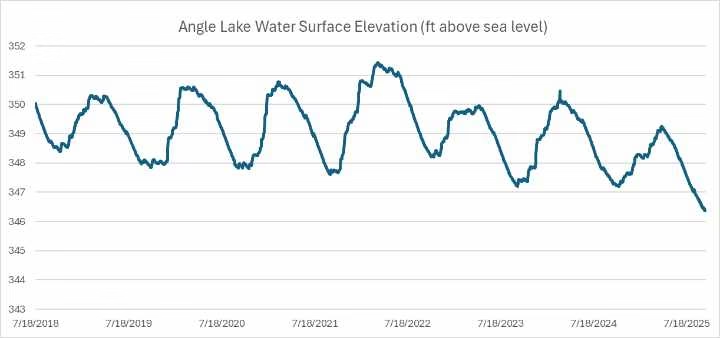
Knutson noted that Angle Lake in SeaTac is currently at its lowest point since 2018. He said the drop is not unique to one location but part of a broader regional pattern.
“This makes me think that it’s likely a larger regional climate pattern this year that is leading to the low lake levels across all our monitored lakes and not an issue directly related to Angle Lake alone,” Knutson told The SeaTac Blog.
Lake level and temperature data are typically downloaded three to four times per year and posted to King County’s Hydrologic Information Center once processed. Knutson said the most recent readings will be uploaded in the next week.
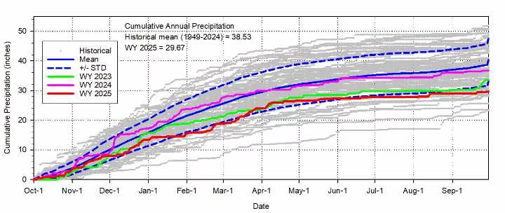
Below is a figure displaying historical precipitation at Sea-Tac Airport going back to 1949, which shows that this year’s total precipitation is considerably lower than the average and only 5 or 6 years since 1949 have seen less rain.
“Since Angle Lake water level is primarily driven by rainfall with no significant streams flowing into it, I think the low precipitation is the major contributing factor to the low lake level,” Knutsen added.
The chart below shows precipitation metrics for the SeaTac rain gauge:
The department currently monitor lake level at 10 lakes around south King County using automated lake level/temperature loggers.
“We are able to get this data through the help of dedicated volunteers in our Lake Stewardship Monitoring Program, officials said. Lake level data is posted to Hydrologic Information Center – King County. To navigate to lake levels, select “station map” from the list on the left side of the page, then select “Stage only Gauge” and see the map of locations with lake level information.
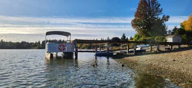
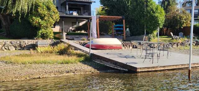
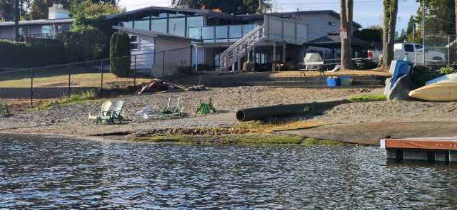
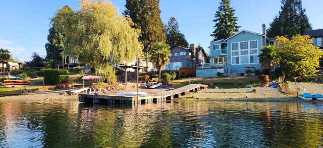
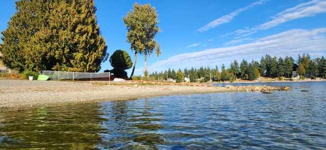
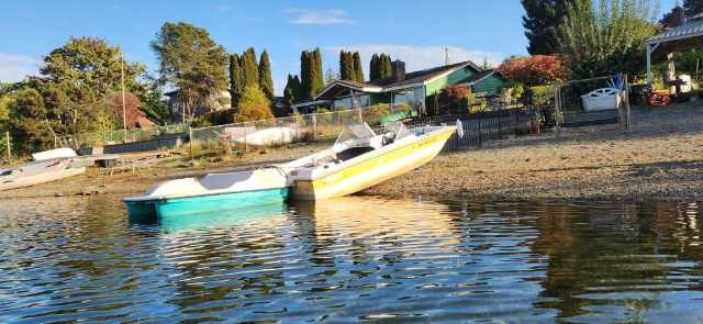
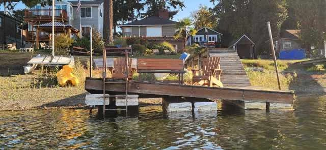
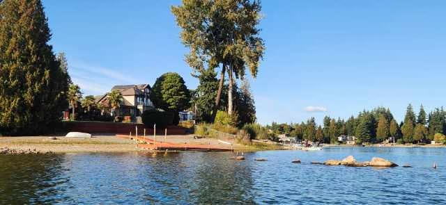
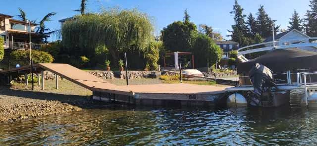
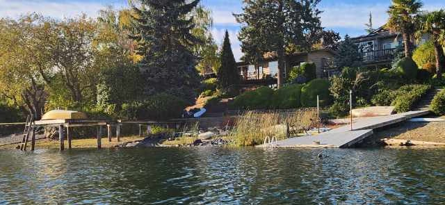
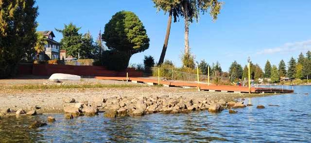
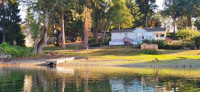
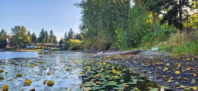
Photos
Below are photos courtesy Fuzz Hill showing the low levels at Angle Lake:


Recent Comments